Skip to content Skip to footer
Surveyor in hard hat and high vis with a clipboard speaking to a worker on a site

Accuracy Without Disruption

We understand that success starts with certainty. Accurate, real-world data is critical when expanding, upgrading, or maintaining operational facilities.

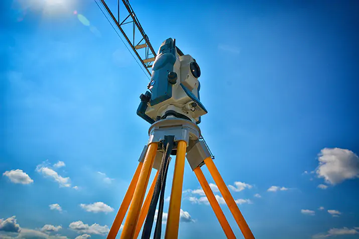
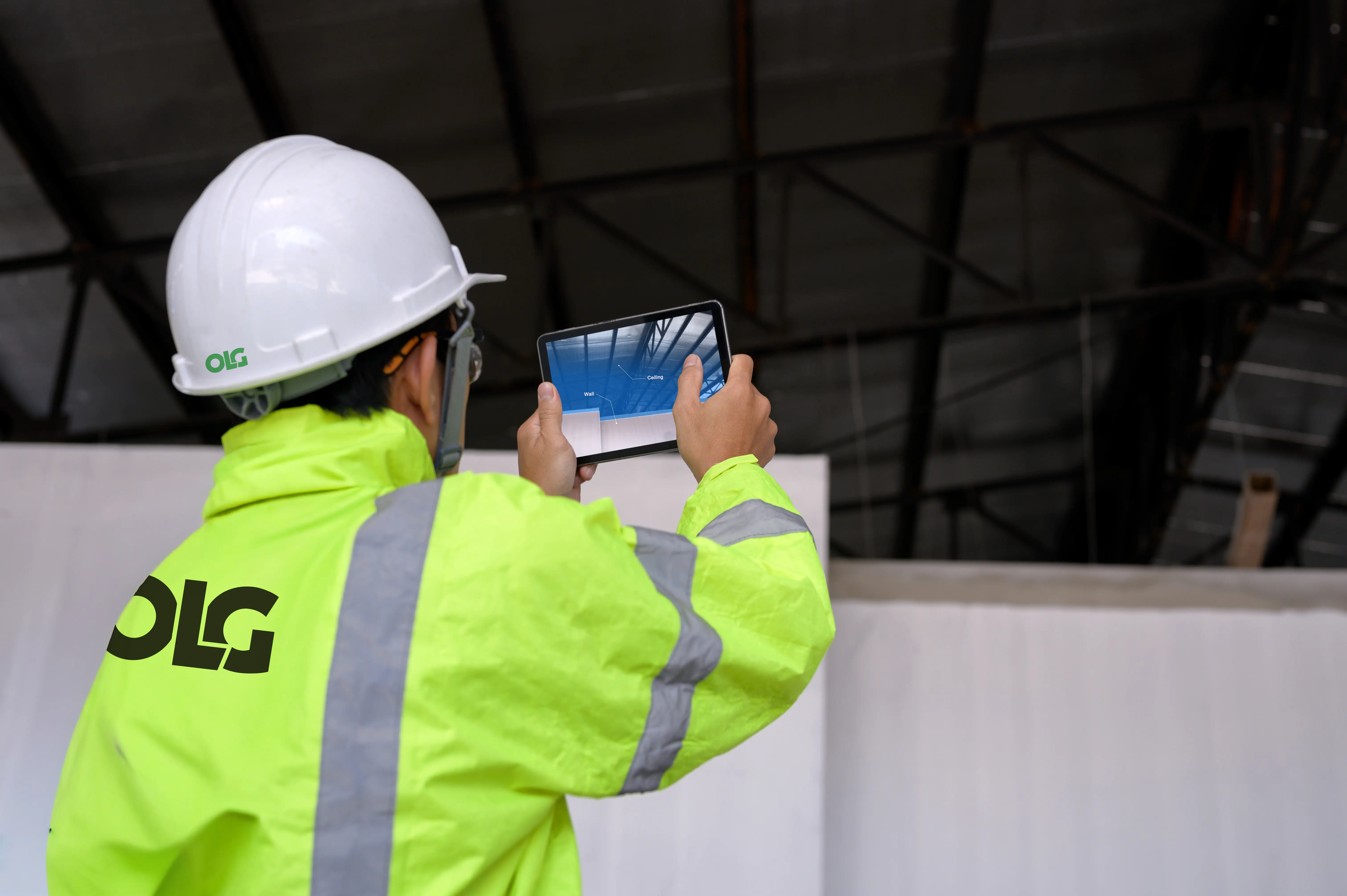
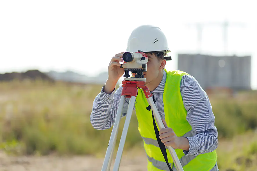
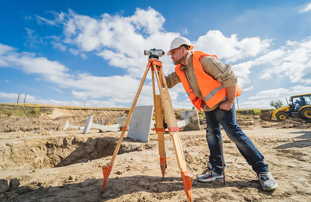
Our 3D laser scanning service captures every detail of your site environment quickly, safely, and without interruption. This allows you to plan with confidence, avoid costly surprises, and move your project forward with greater speed and accuracy.

Whether you’re working in a tight operational area, planning new installations, or trying to reduce rework risks, our scanning service provides the clarity you need to deliver right-first-time results.

Contact Our Team Today

Precision That Drives Progress

Our highly skilled engineers use advanced laser scanning technology to deliver a full, detailed picture of your existing assets. This process replaces outdated and often inaccurate manual methods with a smarter, faster, and more comprehensive solution.

With scan coverage up to 120 metres and accuracy within 3mm, we ensure that every feature, dimension, and constraint is accounted for from the beginning.

That level of precision empowers better planning, seamless integration, and greater control over your project’s outcome.

Survey equipment for precise measurement on clouded sky background
Powering Real-World Decisions

Projects often encounter issues due to missing or unreliable site information. Incomplete measurements, outdated drawings, and poor visibility of existing layouts can lead to spatial conflicts, planning delays, or expensive rework during construction.

Our 3D laser scanning solves these challenges by producing a complete digital replica of your site—accurate, detailed, and ready to use.

This ensures your team starts every project confidently, working from a solid foundation of real-world data.

Get In Touch With Our Team
Finlays logo

Full Laser Scan for Finlays

OLG produced a full laser scan for Finlays – a multidisciplinary project involving surveying, civil and structural and mechanical teams. A change of use was required by the client with new plant and equipment being installed within an existing building.

OLG were tasked with checking the loads and carrying out any modifications to allow the structure to be repurposed. A full laser scan was carried out to produce a 3D model of the building.

This model shown became the base model for assessing loads and making changes to the building.

Contact Us
Confident Planning

We perform multiple scans, then align and integrate the data using advanced software to create a cohesive Point Cloud comprising billions of data points.

We extract precise geometry from this data and produce accurate 3D models, making it easier for your team to visualise, measure, and design remotely.

This means fewer site visits, less time lost to re-surveying, and fewer surprises once construction begins. Your team works from a single, verified source of truth, reducing uncertainty and helping you make better, faster decisions at every stage.

Surveying Without Stopping

Our nonintrusive scanning process is specifically designed to support active, operational environments. There’s no need to halt production, erect scaffolding, or manually access high-risk areas.
This not only keeps your teams safe, but it also protects your schedule and productivity.

By capturing accurate data without disrupting operations, we ensure that your project starts from a position of strength. You benefit from faster survey times, minimal access requirements, and the flexibility to move forward without compromising day-to-day plant activity.

Our technology allows us to survey even the most complex or hazardous areas with speed and efficiency, delivering critical insights without risking your operations or personnel.

From Survey to Model

The value of 3D laser scanning goes well beyond the survey itself. Our integrated process transforms the captured Point Cloud data into fully usable engineering outputs—from “as-built” documentation to detailed 3D models.

These models are the foundation for new designs, plant modifications, or equipment integrations. They can be shared across disciplines, coordinated in a single environment, and updated to reflect changes throughout the project lifecycle.

This alignment enables teams to plan more effectively, resolve issues faster, and reduce handover friction. And because our models are derived directly from reality, they reflect the exact conditions on site with no guesswork, assumptions, or gaps.

You gain confidence that your new designs will fit, function, and perform exactly as intended.

Survey engineer in high-vis and hard hat taking a photo on a work site.
Seamless Integration. Fewer Surprises. Better Outcomes.

Integrating new assets into an existing facility is never simple. Legacy layouts, tight spaces, and active systems create layers of complexity. By starting with a precise 3D scan of your environment, we help eliminate uncertainty and ensure your new installations align perfectly with what’s already there.

Our scans uncover potential spatial conflicts before work begins, allowing design changes to be made early, when they’re easier and cheaper to address. This improves constructibility and ensures that engineering decisions are grounded in real conditions, not outdated drawings.

With everyone working from a coordinated model, collaboration becomes simpler. Design, fabrication, and installation teams stay aligned, reducing rework, minimising disruption, and keeping your project moving smoothly.

Designed to Support Smarter, Safer Projects

Beyond the obvious efficiency and cost savings, our laser scanning service enhances safety, supports compliance, and improves long-term asset performance.

By removing the need for manual access to high-risk areas, we significantly reduce exposure to hazards. This makes surveys safer not only for our teams but also for yours.

Additionally, the quality and completeness of our data ensure that your compliance documentation is robust, detailed, and audit-ready.
Whether you’re updating “as-built” records or validating existing layouts, our scanning process delivers the certainty you need to confidently meet regulatory standards.

Why Clients Trust OLG for 3D Laser Scanning

Clients choose OLG not just for our technology but also for how we apply it. Our team combines deep engineering expertise with an innovative approach to surveying and modelling.

We don’t just capture data, we translate it into tangible value, enabling faster decisions, smoother projects, and safer outcomes.

You’ll benefit from a fully integrated service, where survey, design, and coordination work harmoniously to reduce friction and increase project certainty.

A Smarter Start to Every Project

At OLG, precision at the start means fewer problems at the finish. Our 3D laser scanning service gives you the tools to plan smarter, design better, and confidently build.

Whether you’re preparing for a significant expansion or simply verifying the current state of your plant, we provide the data and the expertise to help you succeed.

Get in touch to start your next project on solid ground.

Scale up to Semi Commercial

Project

Scale up to Semi Commercial

Sector

Emerging Technologies

Read more

On Line House, Pelham Road, Immingham, North East Lincolnshire, DN40 1AB

T: +44 (0)1469 577695

E: enquiries@olguk.com

Logo for On Line Group Ltd, Trading as OLG
Contact Form